Choose Your Plan
Get started with LaunchPad's powerful tools
Loading your account details...
MonthlyAnnual(Get all credits upfront)
Map Basic Plan
Starting at $240/yr ($20/mo)
For a single user to measure, annotate, and photograph onsite with AR or remotely on a phone, tablet, or computer
- 500 Properties
- 1 Team Member
- Self-Measuring with Google/Mapbox
- 50 Annual Credits*
- 1GB Image & Doc Storage
- AI-Powered Measurements*
- High-Resolution Imagery*
- AR Onsite Measurement
- Basic Support
Most Popular
Map Pro Plan
Starting at $600/yr ($50/mo)
For teams and growing companies to collaborate and keep synced on property measurements, documents, notes, and photos
- 2000 Properties
- 3 Team Members
- Self-Measuring with Google/Mapbox
- 300 Annual Credits*
- 5GB Image & Doc Storage
- AI-Powered Measurements*
- High-Resolution Imagery*
- AR Onsite Measurement
- Priority Support
✓ No card needed
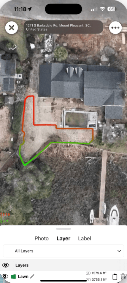
Color-coded property measurements
LaunchPad iOS
On Device Mode
Want to work offline? Try our iOS On Device option
Use LaunchPad on your iPhone with all data stored locally on your device. Scan properties using your phone's camera and LiDAR sensor to create 3D measurements in augmented reality.
$10/month or $99/year
AR property scanning
Exportable 3D models
Geocoded photos & labels
iCloud sync across devices
7-Day Free TrialNo credit card required
*AI and Imagery Credits are completely optional and only consumed when you choose to use HD Nearmap imagery or AI-powered measurements. Self-measuring with Google/Mapbox is free with all plans - you can manually measure all aspects of a property including lawns, beds, structures, and more.
Compare Features
| Feature | Basic | Pro | Enterprise |
|---|---|---|---|
| Properties | 500 | 2000 | Unlimited |
| Team Members | |||
| Self-Measuring with Google/Mapbox | |||
| Credits | |||
| Storage | |||
| Support Level |